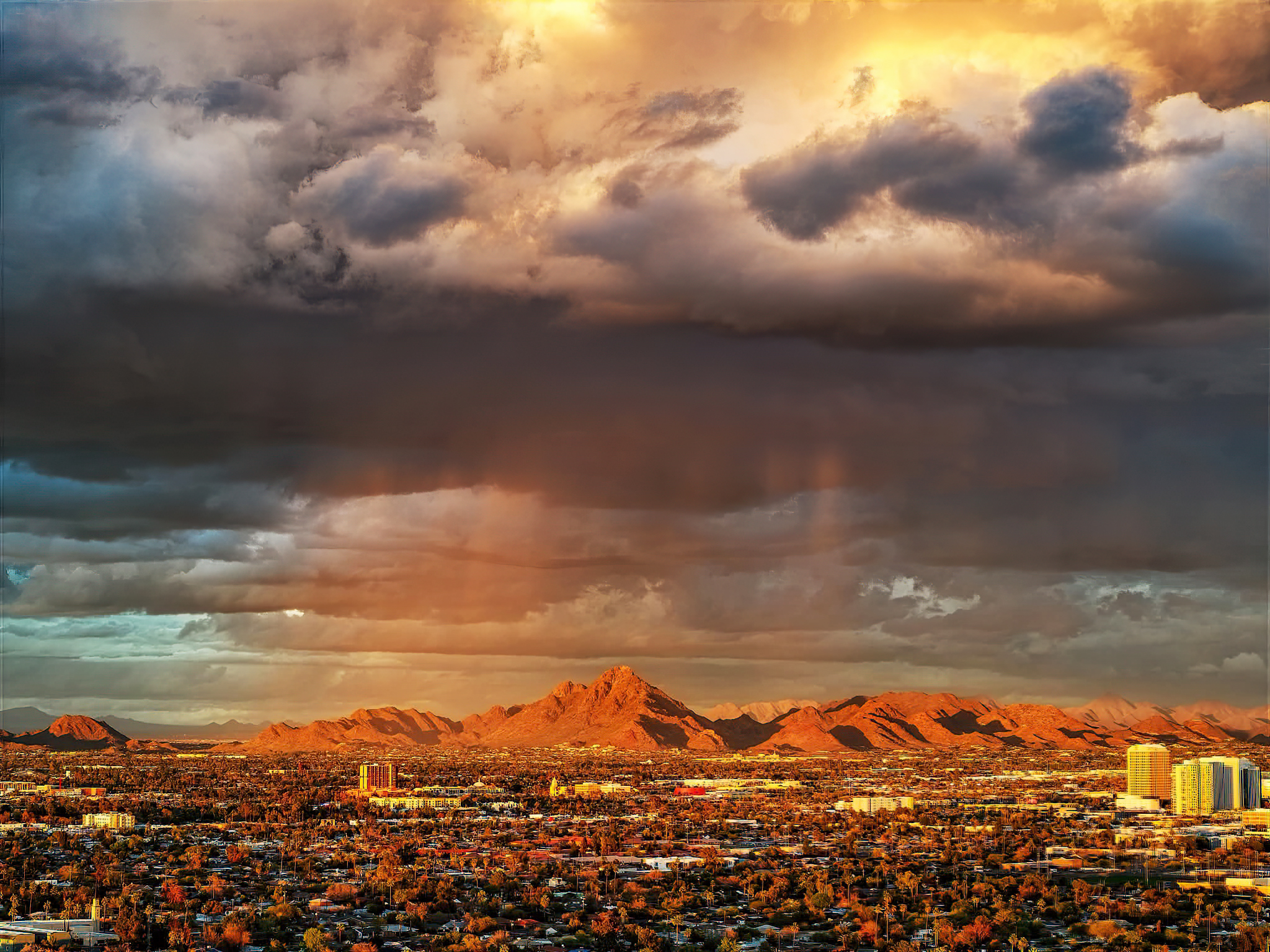
FAA-Certified Aerial Intelligence
&
Cinematic Media
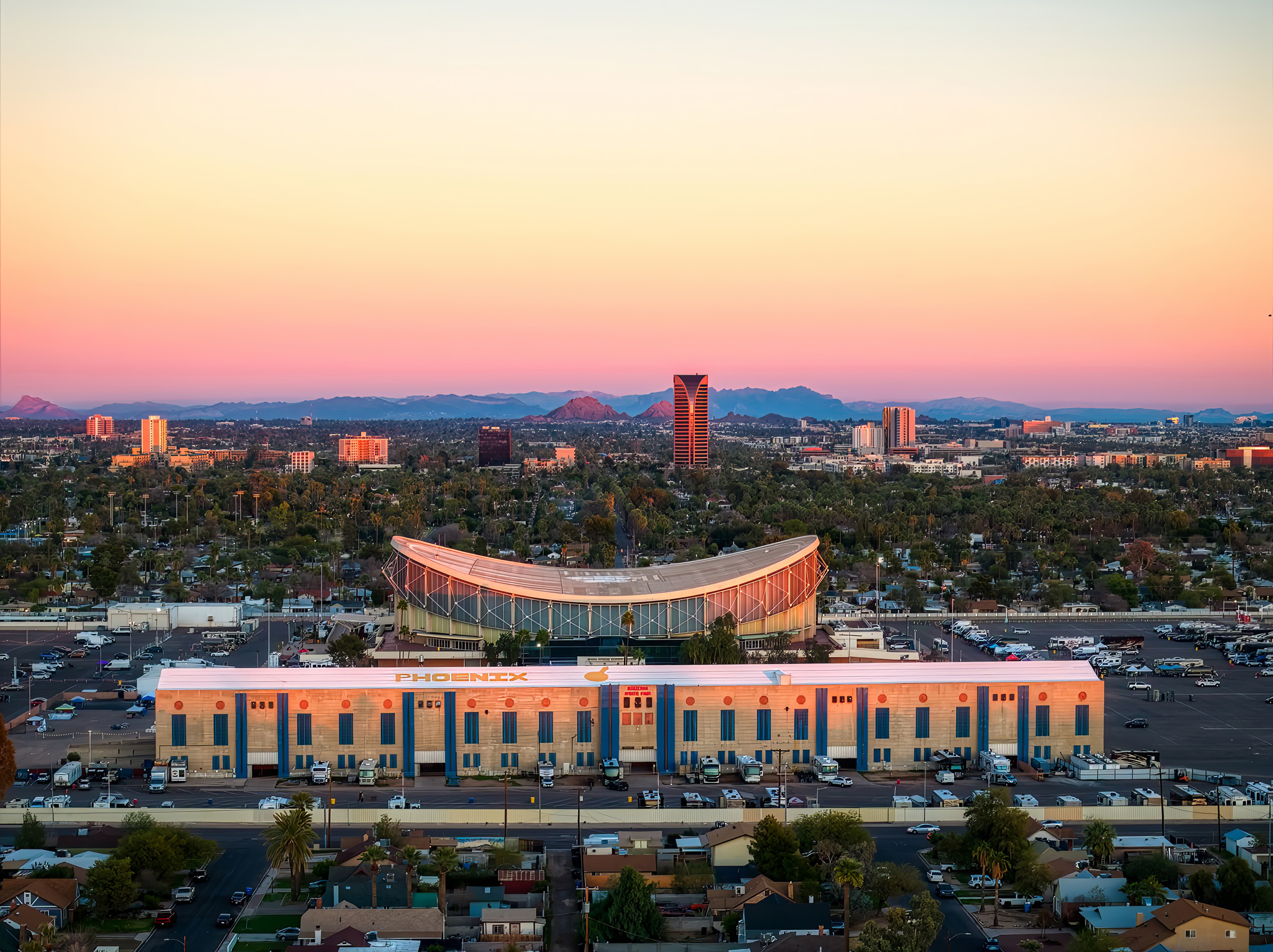
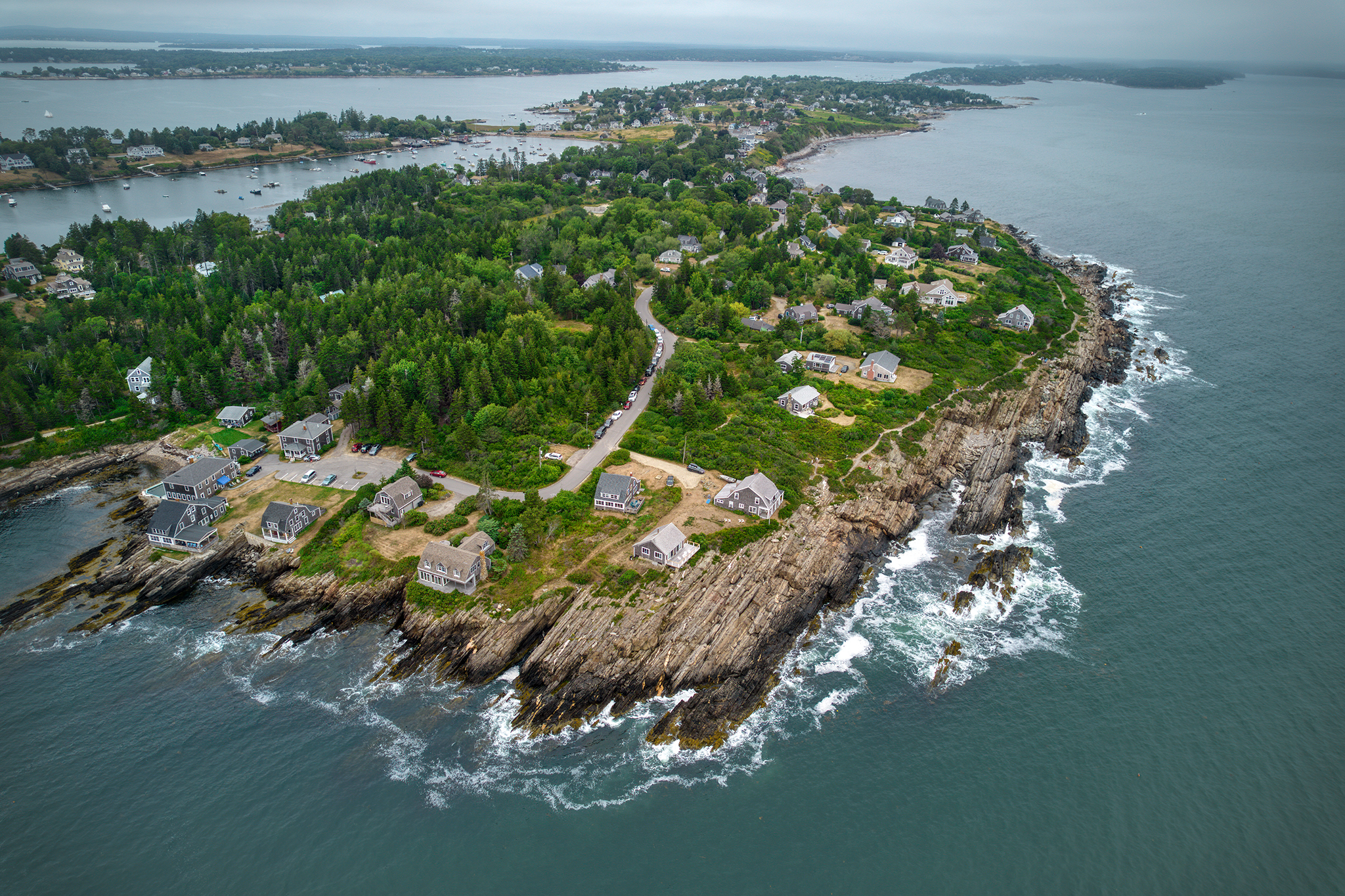
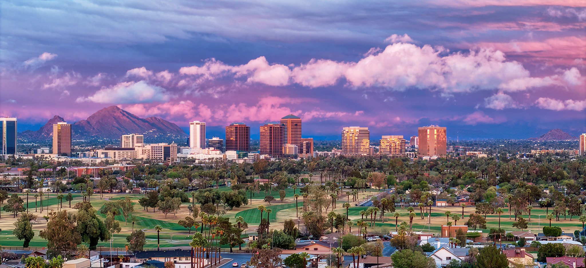
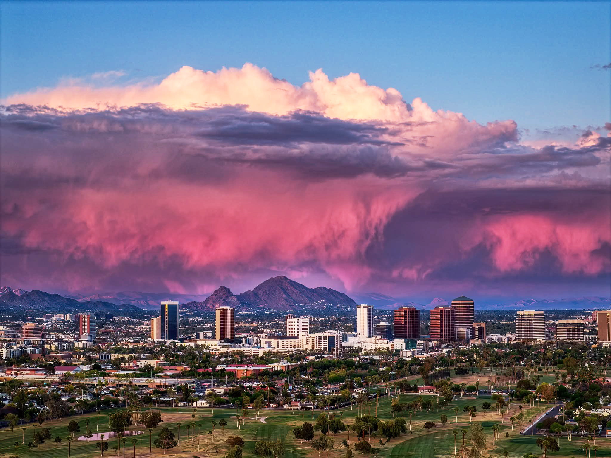
Providing construction managers, property owners, and collectors with elite aerial monitoring and fine art photography across Arizona
Whether it’s a site report or a sunset print
Our goal is to deliver a perspective you can’t get anywhere else.
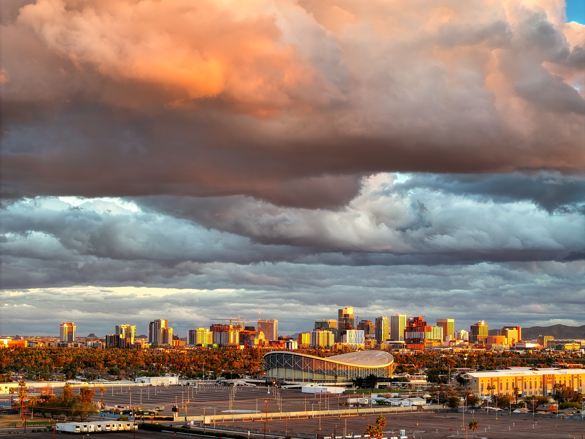
Aerial Documents
You Can Count On Every time.
Although I own and operate several drones, my primary aircraft are the DJI Mavic 3 Enterprise and
DJI Mavic 4 Pro. The Mavic 3 Enterprise provides accurate mapping capabilities, while the Mavic 4
Pro captures high-resolution photographs and cinematic video. Together, they allow me to document
a project through every stage — from construction progress updates and orthomosaic mapping to the
final images and videos that showcase the finished result.
Precision Aerial Mapping • TheMavic 3 Enterprise provides highly accurate mapping capabilities and high-detail structural inspections, bridging the gap between field data and office planning.
Cinematic Marketing Media • TheMavic 4 Pro captures high-resolution photographs and high-bitrate 4K/5.1K cinematic video, perfect for dramatic reveals, digital ads, and stakeholder updates.
End-to-End Documentation • Together, these platforms allow me to seamlessly track a project from the first ground-breaking and orthomosaic site maps to the final, polished marketing assets that showcase your completed build.
Compliances:
Fully FAA Part 107 certified and $1M liability insured, We handle the airspace logistics and safety clearances so you don’t have to. You get high-bitrate 4K footage delivered on time, every time, tailored to your specific project goals.
LAANC Authorized for fast airspace approval in controlled zones.
Weekly Construction Progress Flights
Consistent, same-route aerial captures that document your site from first dig to final walk‑through. Each flight delivers high‑resolution photos and video you can share with stakeholders, compare week‑to‑week, and archive for your records.
Roof, Facade & Site Inspections
Detailed overhead and oblique imagery that helps you spot issues before they become change orders. Ideal for roofers, property managers, and GCs who need a safe, efficient way to review hard‑to‑reach areas without lifts or scaffolding.


What Sets Desert Drone Pro Apart
You get a certified pilot who shows up on schedule, flies the same routes every visit, and delivers clean, high‑resolution visuals your team can actually use to make decisions.
From airspace approvals to final exports, we handle the technical details so you get reliable aerial coverage without adding work to your plate.
Precision You Can Trust
Every mission is pre-planned for consistent altitude, angle, and framing, so your weekly visuals line up and actually show progress, not just “pretty shots.”
Coverage Tailored to Your Site
From single roofs to multi‑building developments, we customize flight paths and deliverables around your project, stakeholders, and reporting needs.
Fast Turnarounds, Zero Guesswork
You get edited, high‑resolution imagery delivered on a clear schedule, so updates, reports, and owner meetings always have fresh visuals ready to go.